What it does
Turn smooth hills into terraces by drawing the way their heights should change. Each point on the curve pairs an input value with an output value; straight segments join the points.
Connect noise to Input and give Points some flat stretches separated by short rises. Then scale the result into a height. The curve’s coordinates are density values, rather than positions in the world.
Shape
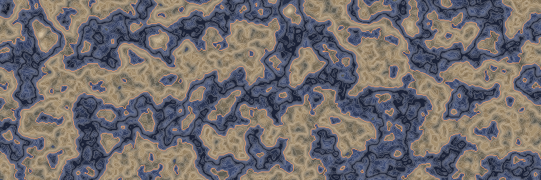
What comes out for each value that goes in, computed by the real engine. Above the orange line is solid ground.
Input unchanged
On noise
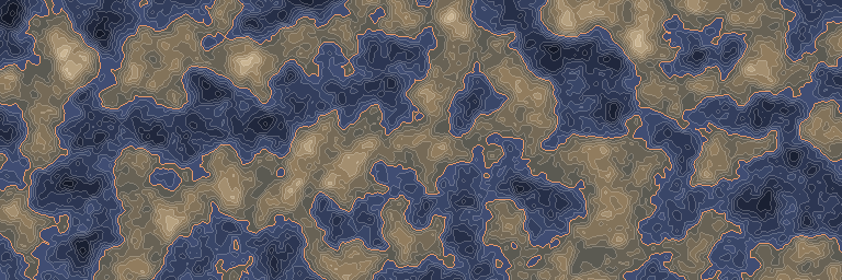
The standard noise stretched to run from -1 to 1, before and after this node. First along one line, then seen from above.
Inputs and outputs
| Name | Type | Default | What it changes |
|---|---|---|---|
| Inputs | |||
| Input | Density | The density whose values you want to reshape. | |
| Settings | |||
| Points | Curve | 3 points | Defines the curve in increasing input order; flat sections make terraces. |
| Output | |||
| Output | Density | The curve value, held at the nearest end outside the curve. | |
Good to know
Keep the ends flat
Values beyond the first or last point keep that end value. Use this to hold a floor or ceiling without adding Clamp.