On noise
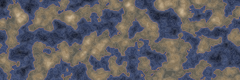
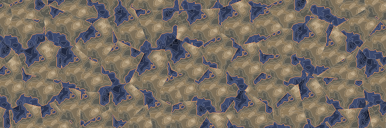
The same noise before and after this node, seen from above.
In 3D
The same output in relief: each value becomes a height, coloured like the map above. Drag to look around.
Inputs and outputs
| Name | Type | Default | What it changes |
|---|---|---|---|
| Inputs | |||
| Input | Density | ||
| Seed | Integer | 1 | |
| Point Y | Real | 0.0 | |
| Scale X | Real | 64.0 · > 0 | |
| Scale Z | Real | 64.0 · > 0 | |
| Jitter | Real | 0.5 · 0–0.5 | |
| Max distance | Real | 128.0 · > 0 | |
| Default value | Real | 0.0 | |
| Settings | |||
| Distance metric | Choice | Euclidean | One of: Euclidean, Manhattan. |
| Output | |||
| Output | Density | ||
Good to know
How it works
The plane is divided into deterministic jittered cells. Inside each cell, the child input sees coordinates relative to that cell’s anchor.
Useful for
Repeating procedural shapes such as rocks, spikes, craters, or islands without storing premade structures.
Watch for
The child shape must fit inside the configured search distance. Shapes touching cell boundaries may meet or switch nearest-cell ownership.
Sampling semantics
Points lie at pointY, but distance is measured in 3D, including the sample’s Y offset. To make the field independent of Y, wrap it in density.coordinate_override with axis=Y and value=pointY. jitter must be within [0, 0.5]. maxDistance bounds the point search; cell-value/relative-value variants return defaultValue when no point is found.