On noise
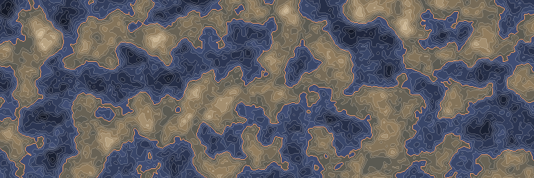
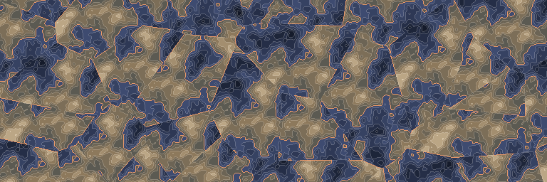
The same noise before and after this node, seen from above.
In 3D
The same output in relief: each value becomes a height, coloured like the map above. Drag to look around.
Inputs and outputs
| Name | Type | Default | What it changes |
|---|---|---|---|
| Inputs | |||
| Input | Density | ||
| Filter | Density | ||
| Seed | Integer | 1 | |
| Point Y | Real | 0.0 | |
| Scale X | Real | 64.0 · > 0 | |
| Scale Z | Real | 64.0 · > 0 | |
| Jitter | Real | 0.5 · 0–0.5 | |
| Max distance | Real | 128.0 · > 0 | |
| Default value | Real | 0.0 | |
| Filter min | Real | -1.0 | |
| Filter max | Real | 1.0 | |
| Settings | |||
| Distance metric | Choice | Euclidean | One of: Euclidean, Manhattan. |
| Output | |||
| Output | Density | ||
Good to know
Sampling semantics
Points lie at pointY, but distance is measured in 3D, including the sample’s Y offset. To make the field independent of Y, wrap it in density.coordinate_override with axis=Y and value=pointY. jitter must be within [0, 0.5]. maxDistance bounds the point search; cell-value/relative-value variants return defaultValue when no point is found.